
3D Geospatial Laboratory
Research and development for state-of-the-art active and passive remote sensing solutions
Pursuing new and innovative research with satellite, airborne and terrestrial 3D data
We approach scientific research with a perspective on instrument engineering, mission implementation and 3D remote sensing systems. We use the observations designed to form new data products, create new data analytics and optimize algorithmic methods for combining multi-sensor information for science applications.
We use 3D data as the underpinning of Earth exploration and continue to design missions that satisfy our changing environment.

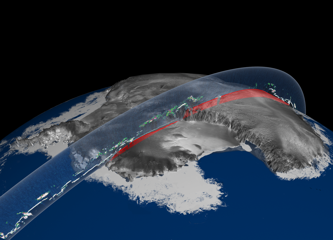
ICESat-2
The Ice, Cloud and Land Elevation Satellite-2 is NASA’s newest Earth observing laser altimeter, launched in September 2015 and has provided unprecedented 3D data of our planet. 3DGL research focuses on the engineering to support the science. using space-based systems.

Feature extraction
We develop algorithms that provide automated solutions for 3D point cloud feature extraction. These features help with understanding urban infrastructure, explore vegetation structure dynamics, create accurate terrain models and investigate environmental change.

UT Austin campus in 3D
Using data collected from an airborne laser altimeter we created a 3D model of the 40 acres. These models can be used in gaming engines to offer a reality based virtual experience for autonomous vehicles
Contact
Feel free to contact us with any questions or interest in research positions.
Email
lori.magruder@austin.utexas.edu
Phone
(512) 471-6069